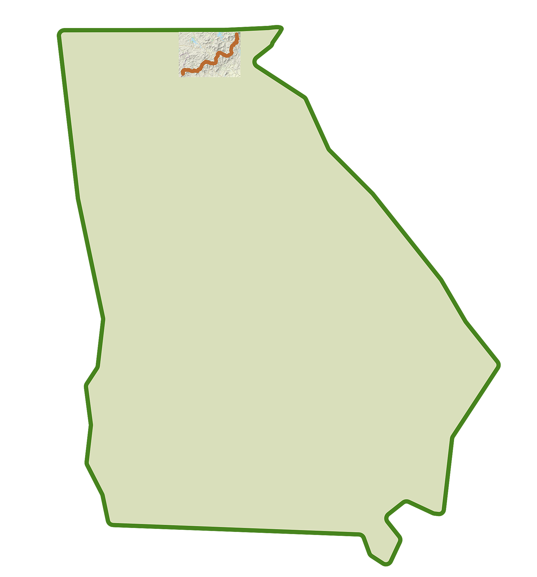
The Appalachian Trail is the longest hiking-only footpath in the world
It starts in Georgia and goes all the way to Maine. Over 2000 miles.
I've been working on a personal side project to document how to access all 75 miles of the Appalachian Trail in Georgia. If you're a thru hiker, all you need to know is "Which way to Springer Mountain?" Ok, that's really not very true at all. But nonetheless, I wanted to make the AT more accessible for those of us with less flexibility and time: for day hikers, more specifically.
That meant not only lot's of research for pseudo-evenly spaced access points, but also the collection and presentation of data that would help would-be day hikers chose the section that was right for their next jaunt.
Some portions of the AT cross paved roads, but much of the AT in Georgia is in remote areas called "U.S. Wilderness Areas" which are federally protected under the Wilderness Act of 1964 (there are five such areas in GA). What this means is that those portions of the AT in GA aren't near paved roads.
I thought I'd share how I've applied data visualization best practices to this effort (and yes, these are the same principles we practice at @Juice Analytics every day -- so in some ways, it was easy. Ish.)
Follow along here for more on the process of how I researched, collected, formatted, and published information for day hikers to help them enjoy more of the Appalachian Trail in Georgia.