I’ve lost three pairs of reading glasses on this trip and have decided to try managing without. The accessibility settings on my IPhone help and the magnifier app is also helpful.
Navigating is something we always aware of. With us we have two guidebooks (on my Kobo ereader), the Ride with GPX app, several sites bookmarked; we use Google maps most frequently. Loosing glasses has made navigating more difficult, but it’s likely I lost the glasses when we stopped to confer on what direction to take.
Maps , even in their digital form, lack context. There’s a leadership metaphor related to maps. Your plan or roadmap will get you there. But in cycling like in the workplace no map can predict what you are going to face.
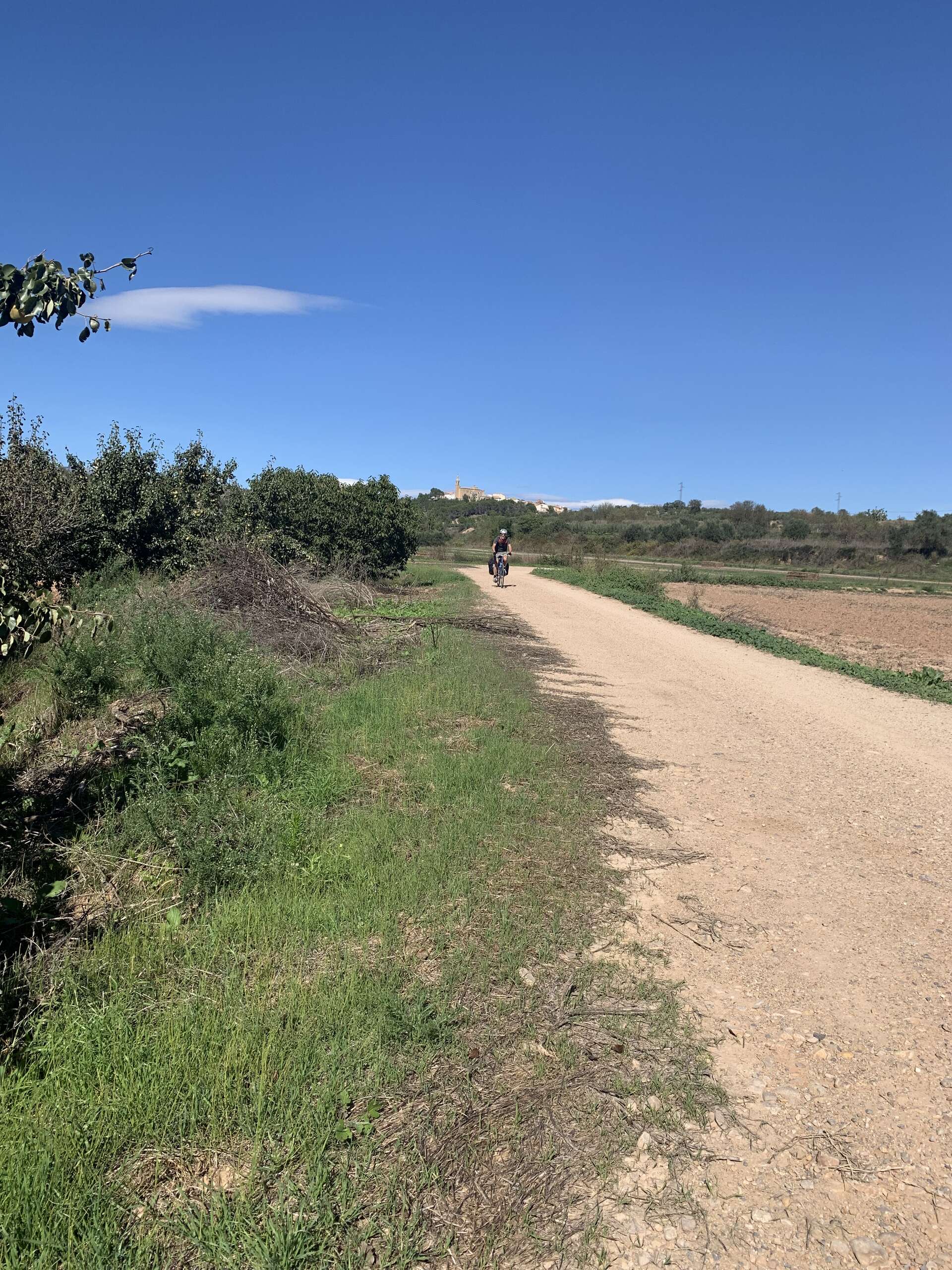
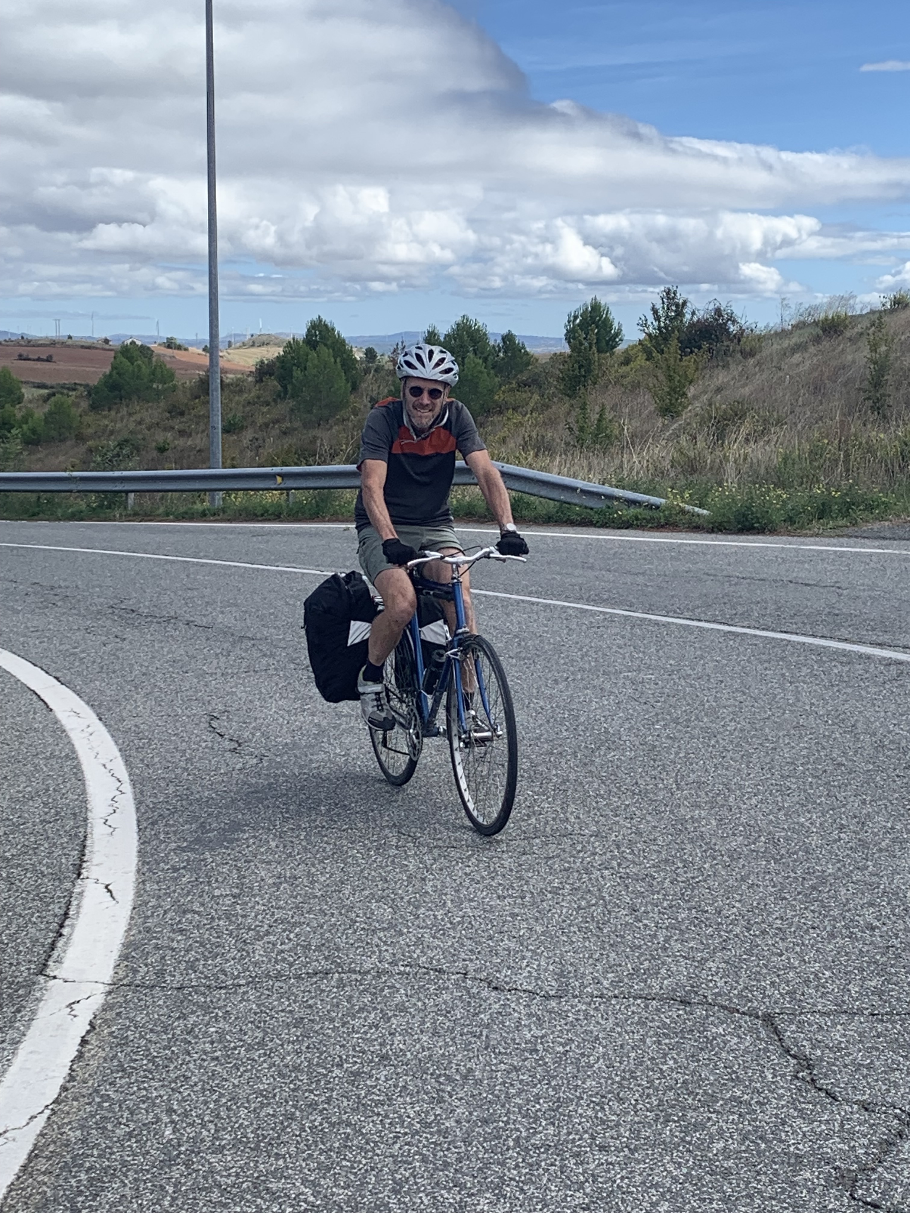
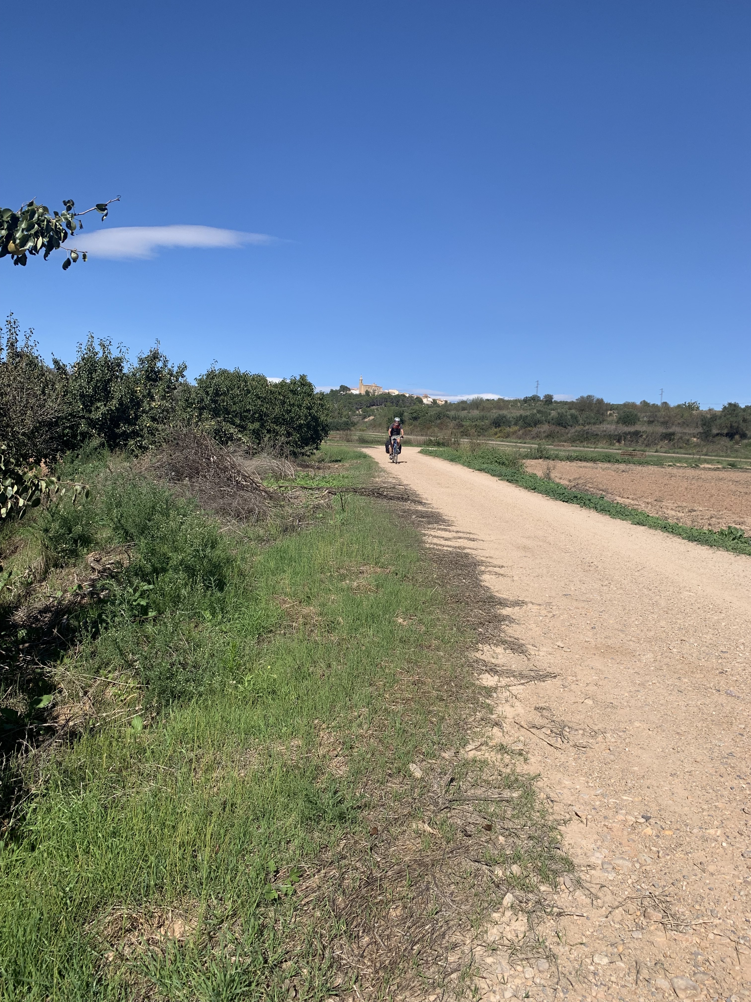
Larry does our in the moment navigation, using Google maps. It’s pretty good but we have been lead to dirt tracks through fields, off-road, gravel paths, a maintenance road along a railway and forest trails. Looking at the map did not prepare us for these adventures!
The map also doesn’t prepare us for roadwork, police blockades and weather. You can look at a road on a map, and then find its surface hasn’t been repaired for generations. Maps don’t show the condition of the shoulder, and most importantly Google maps underestimates hills.
Despite these challenges, Larry has done an amazing job getting us to our daily destination. We make adjustments as we go, and try to adapt as best we can to whatever conditions presented to us.
We are now in Logorno after nights in Pamploma and Estella. We really feel we are on the Camino now. We see lots of walkers and everyone greets us with Buen Camino. 620 km to Santiago!
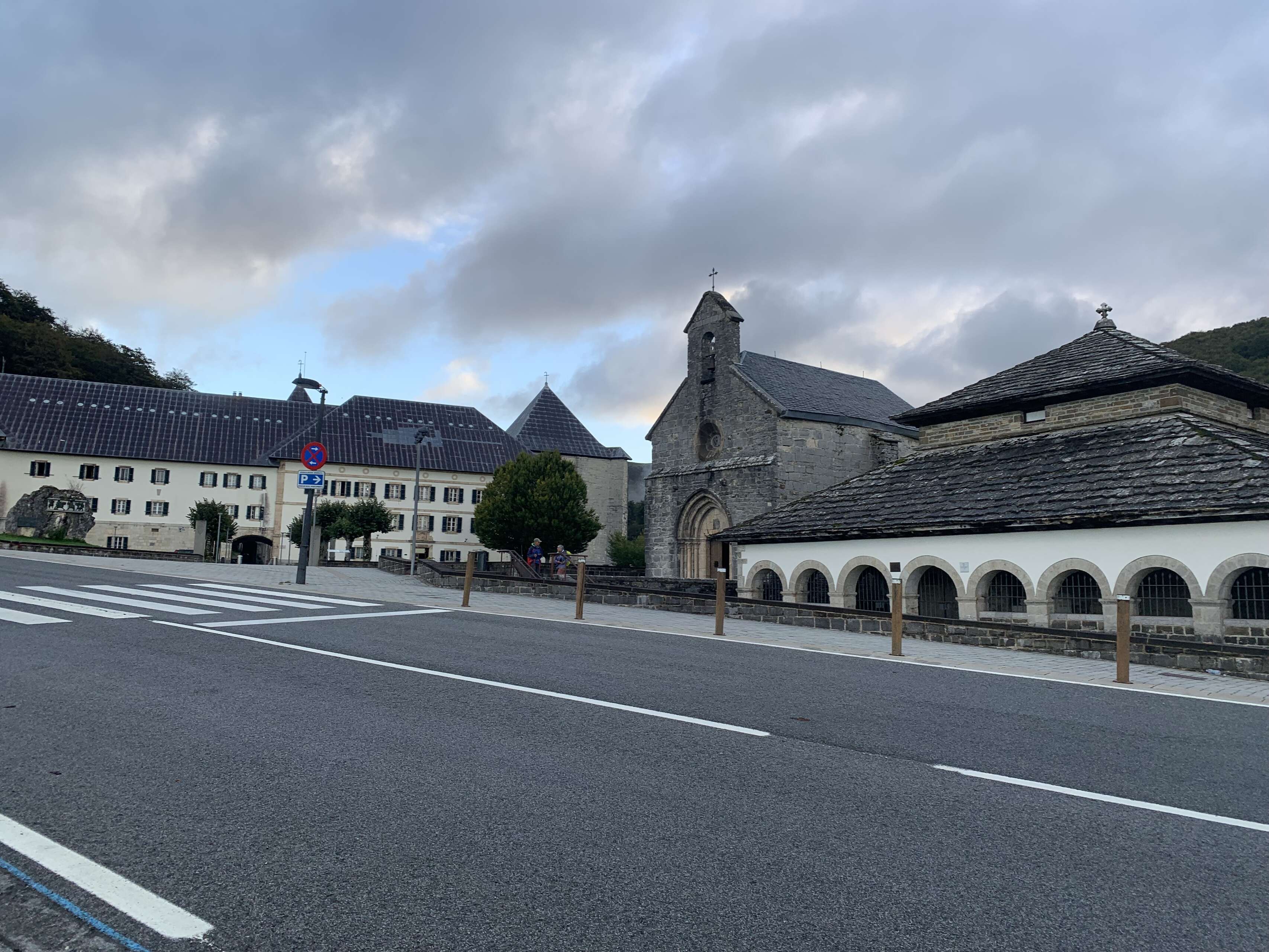
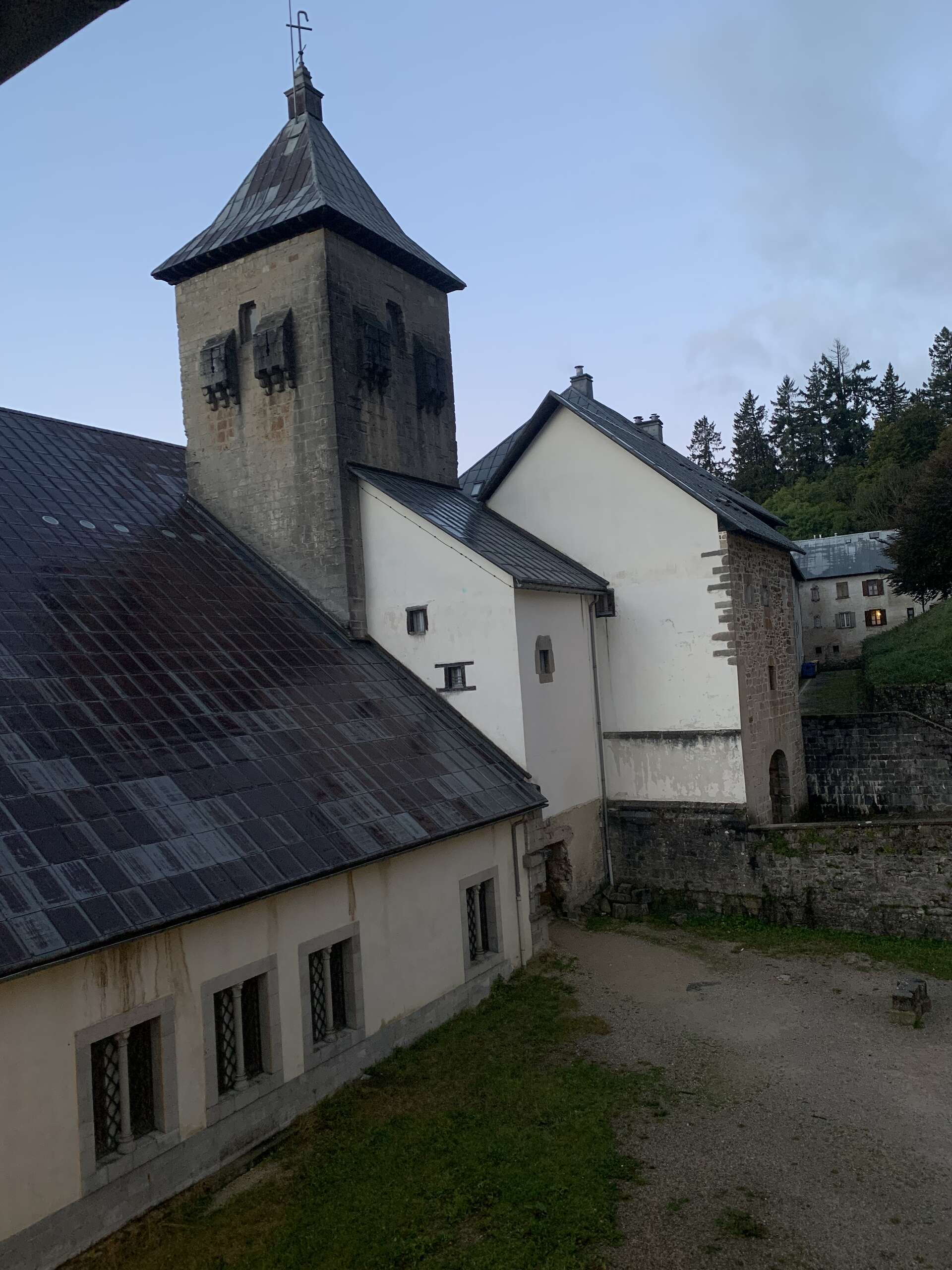
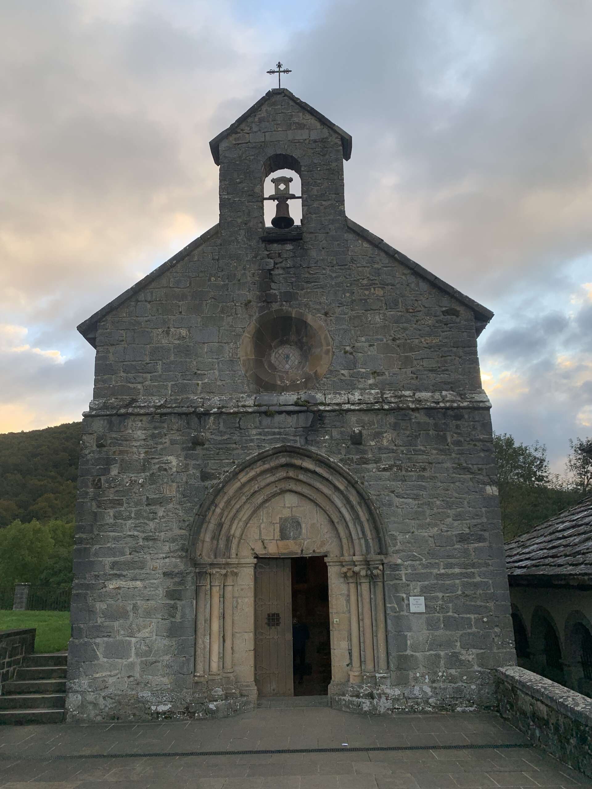
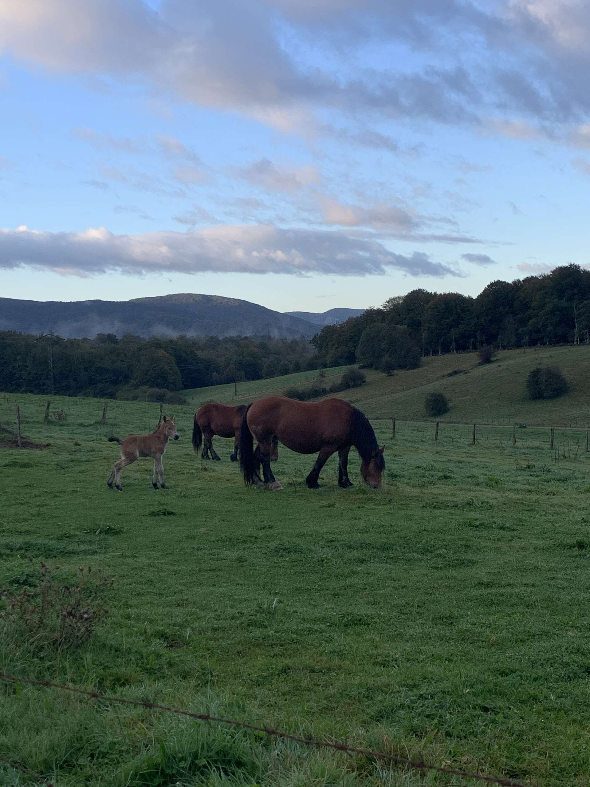
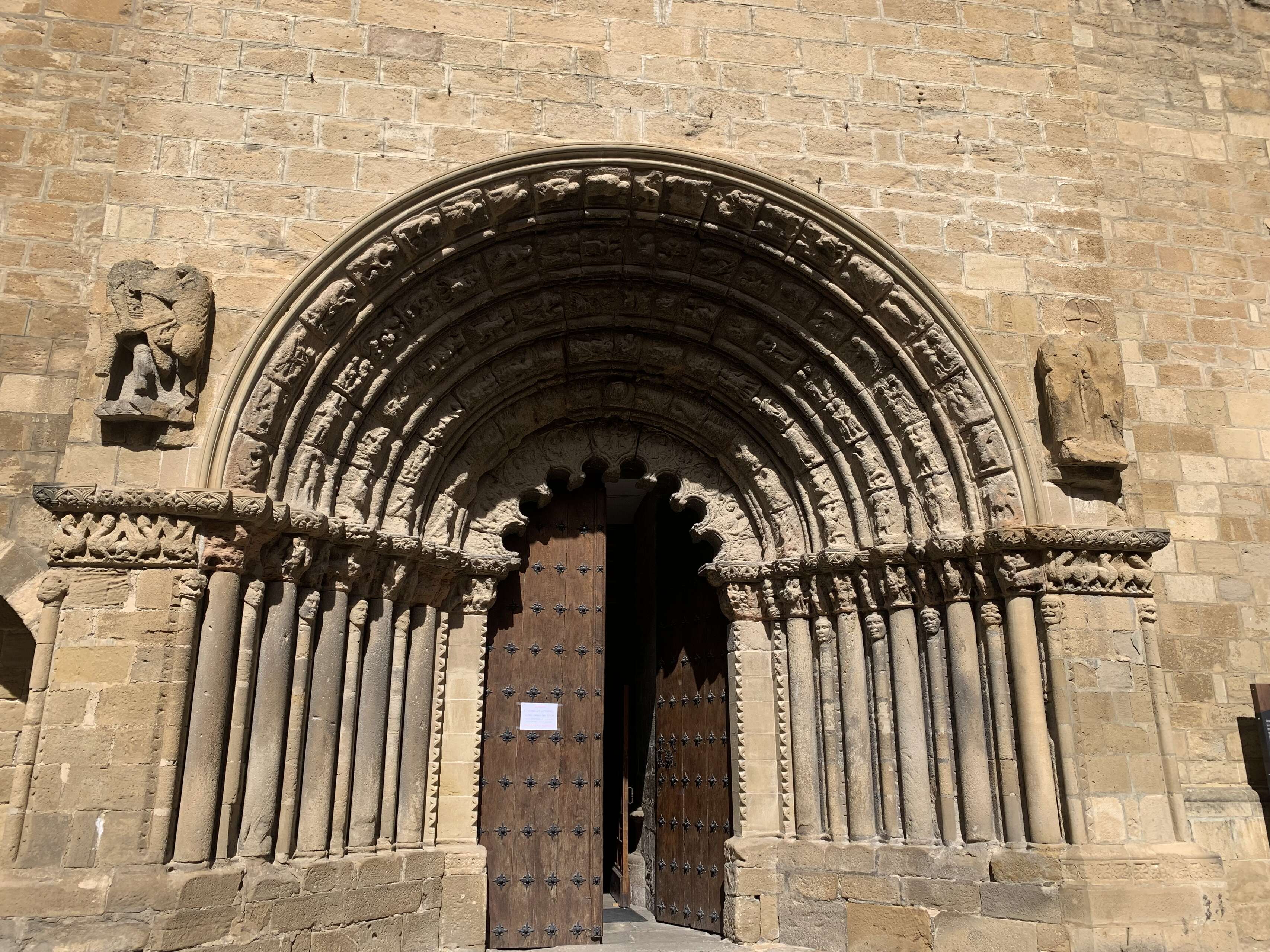
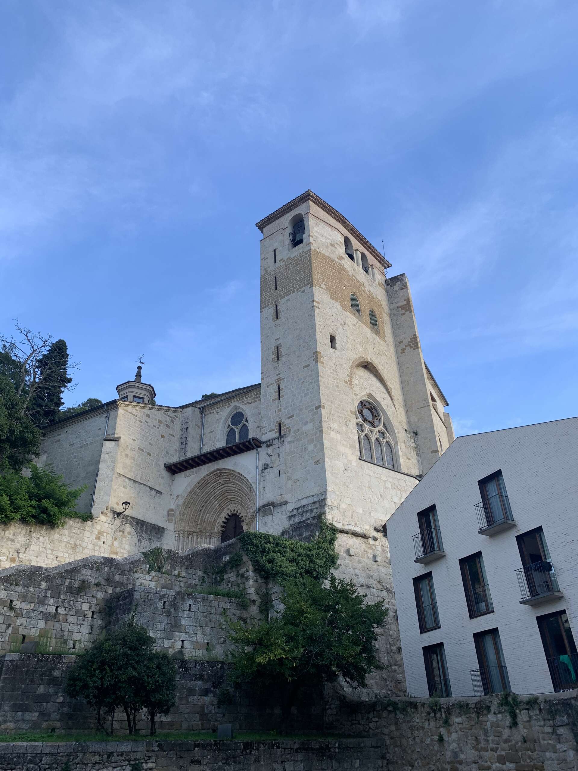
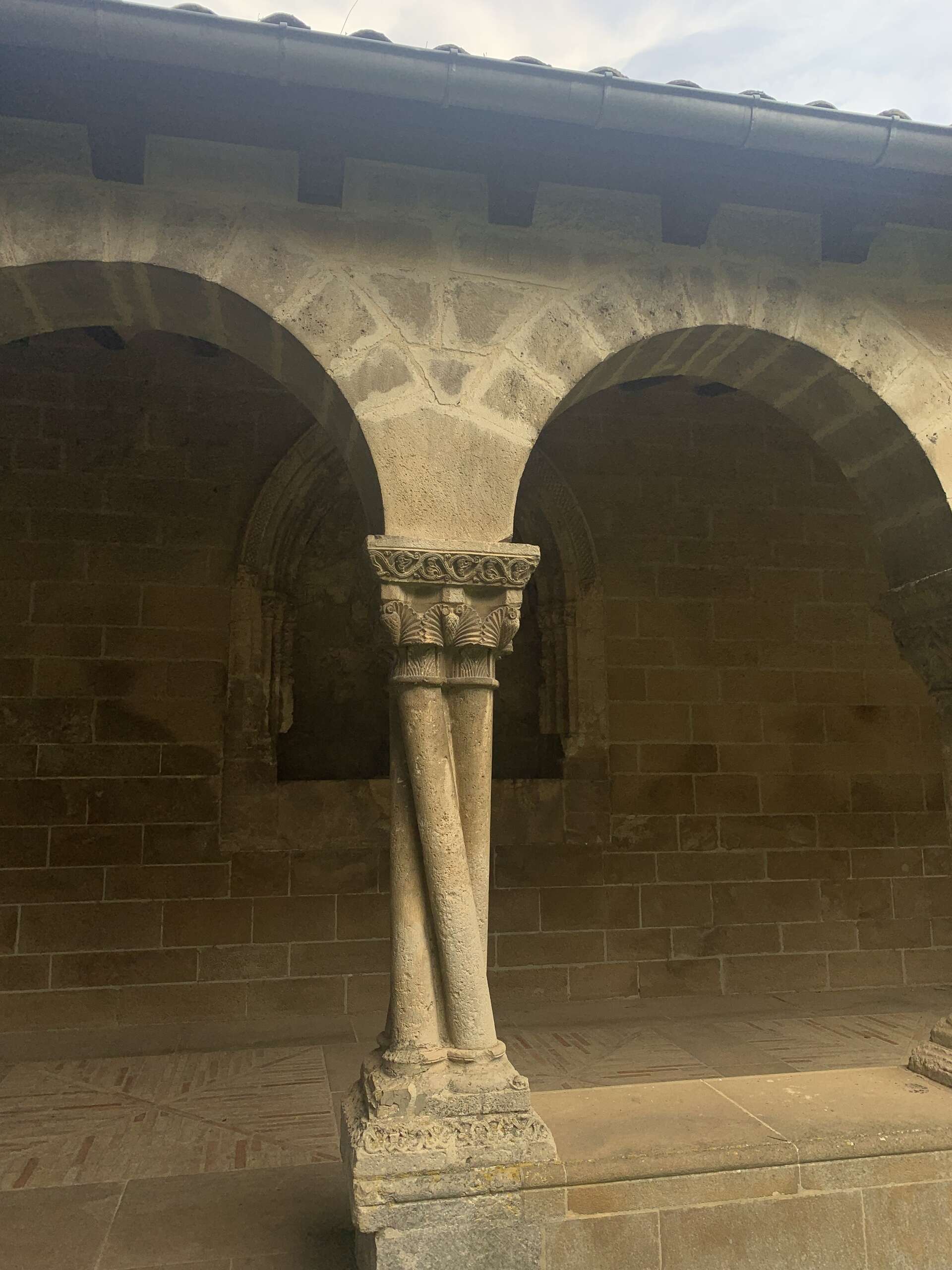
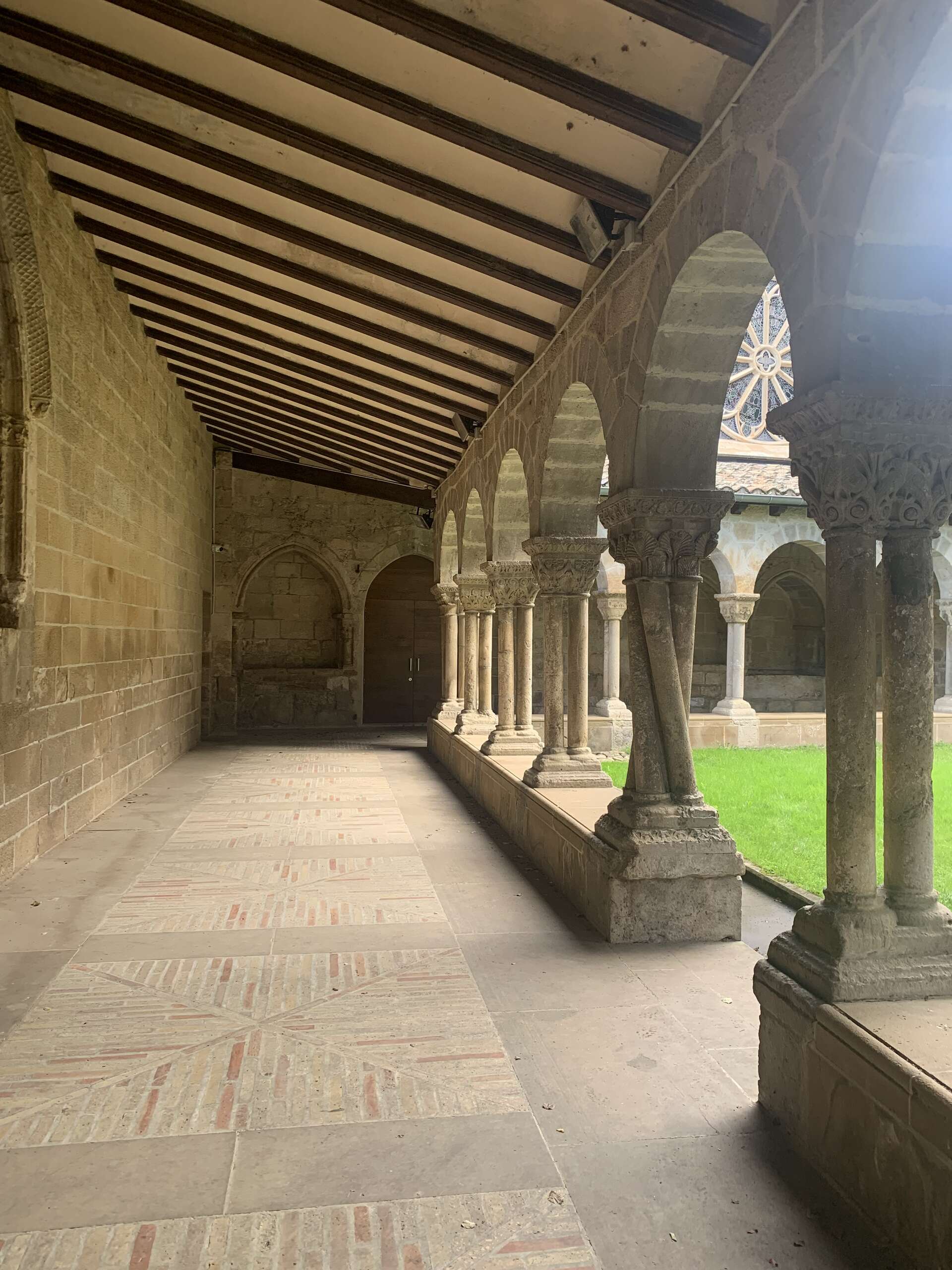
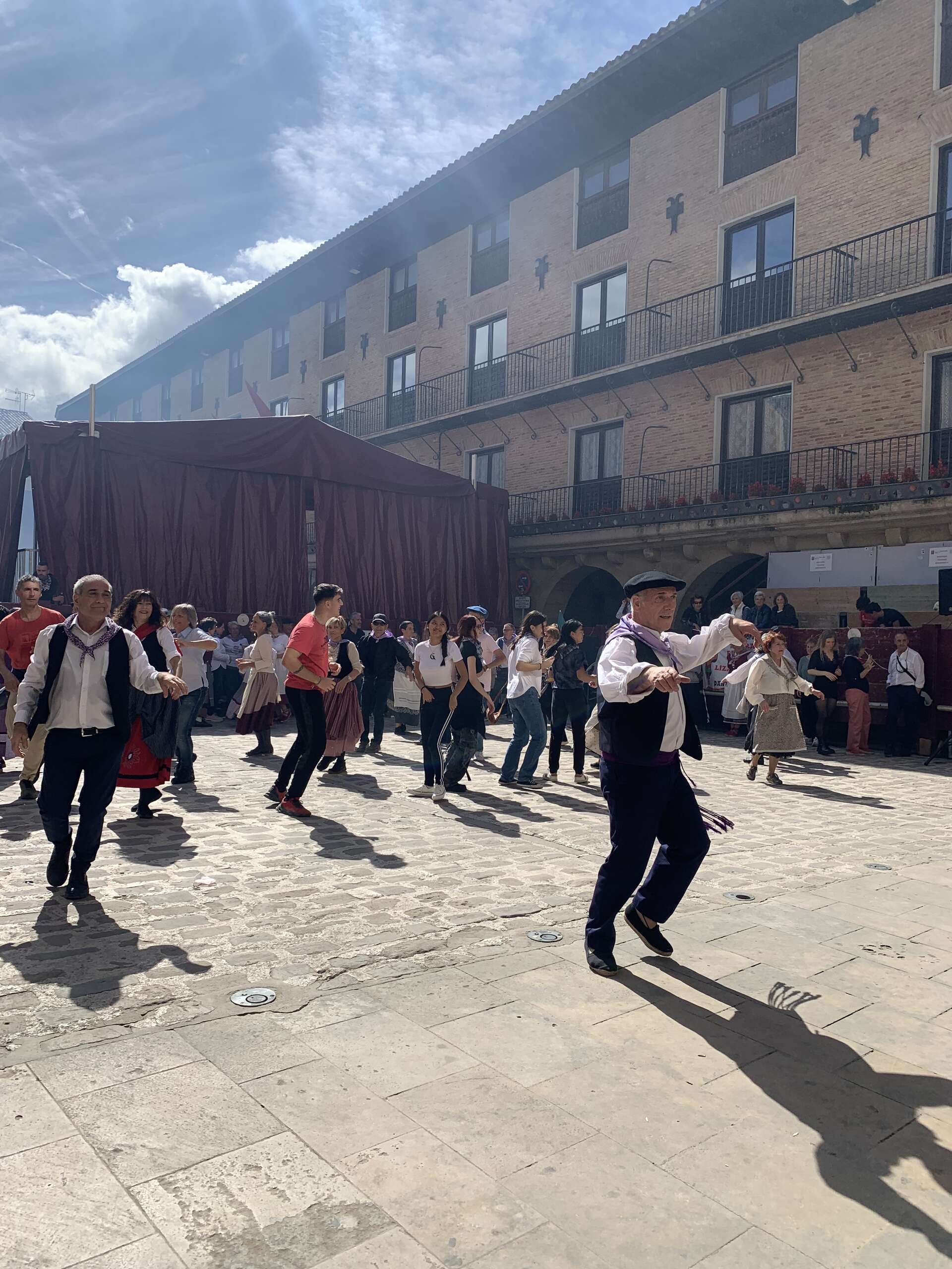
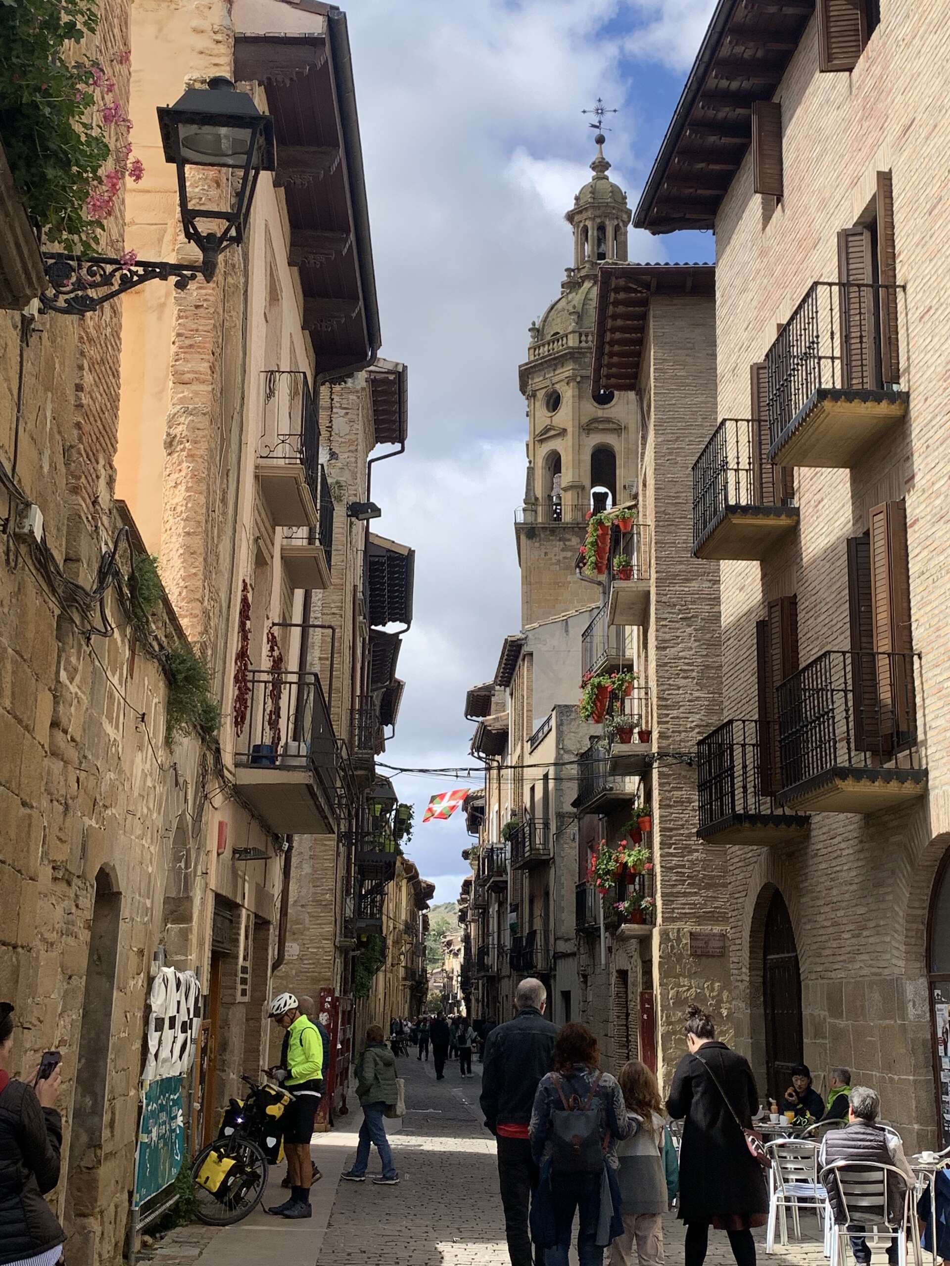
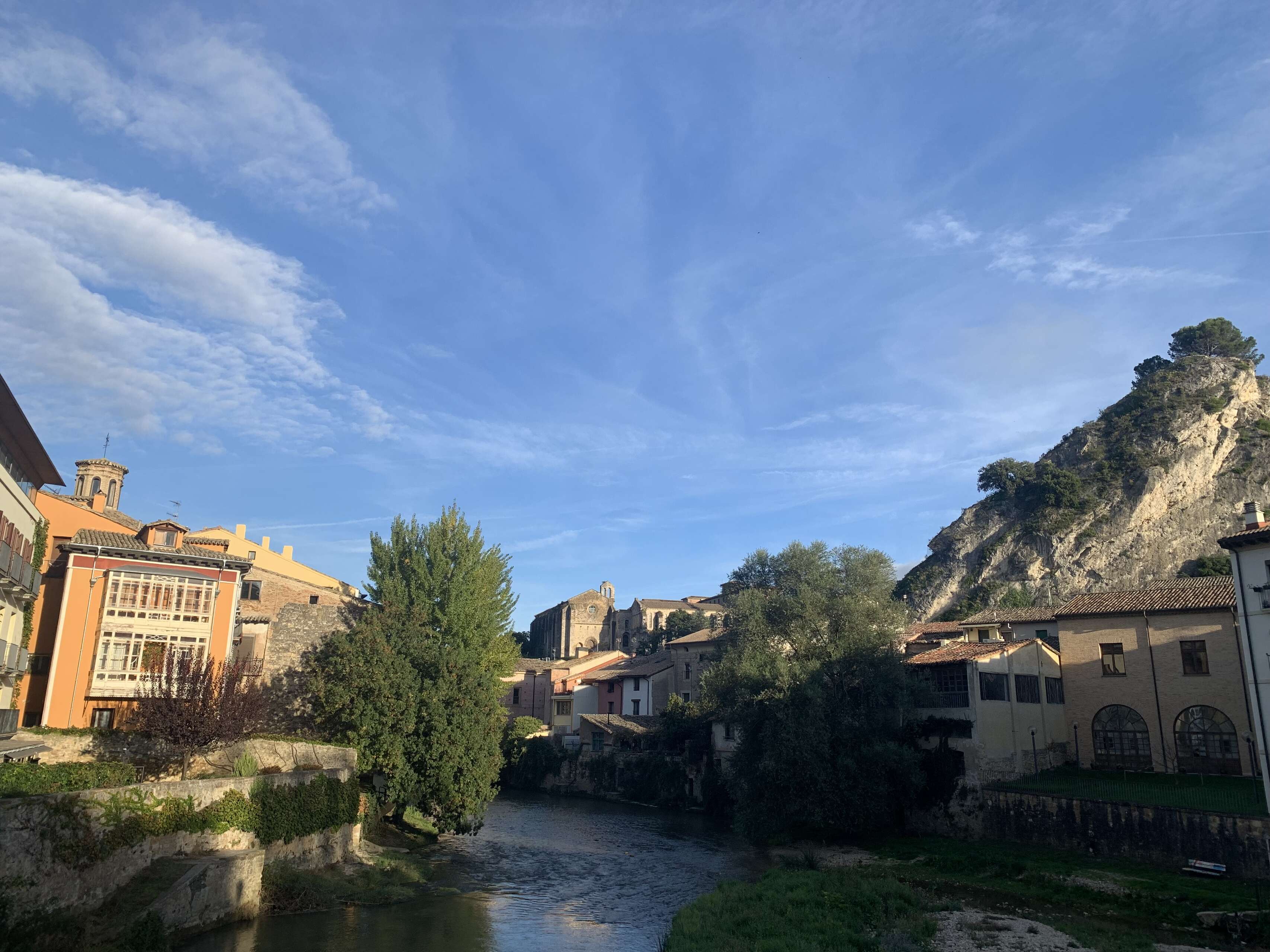
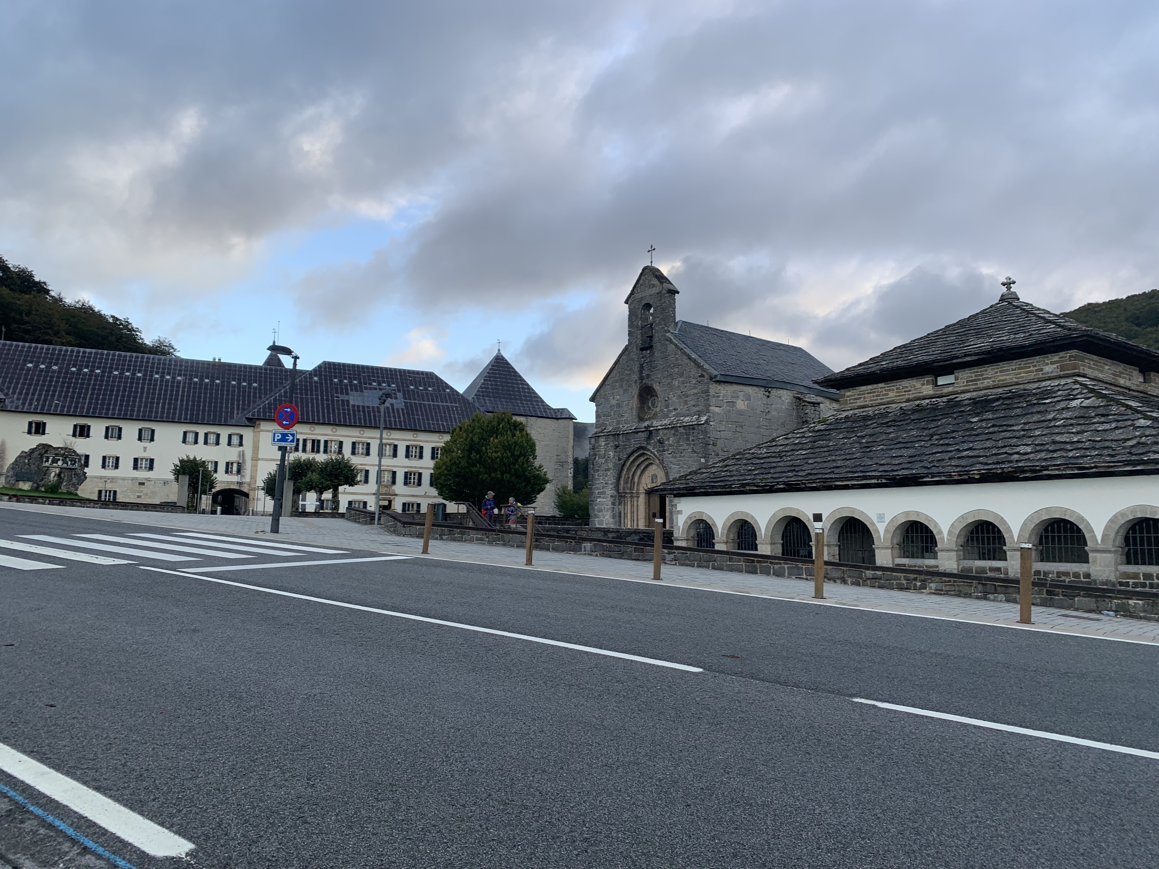
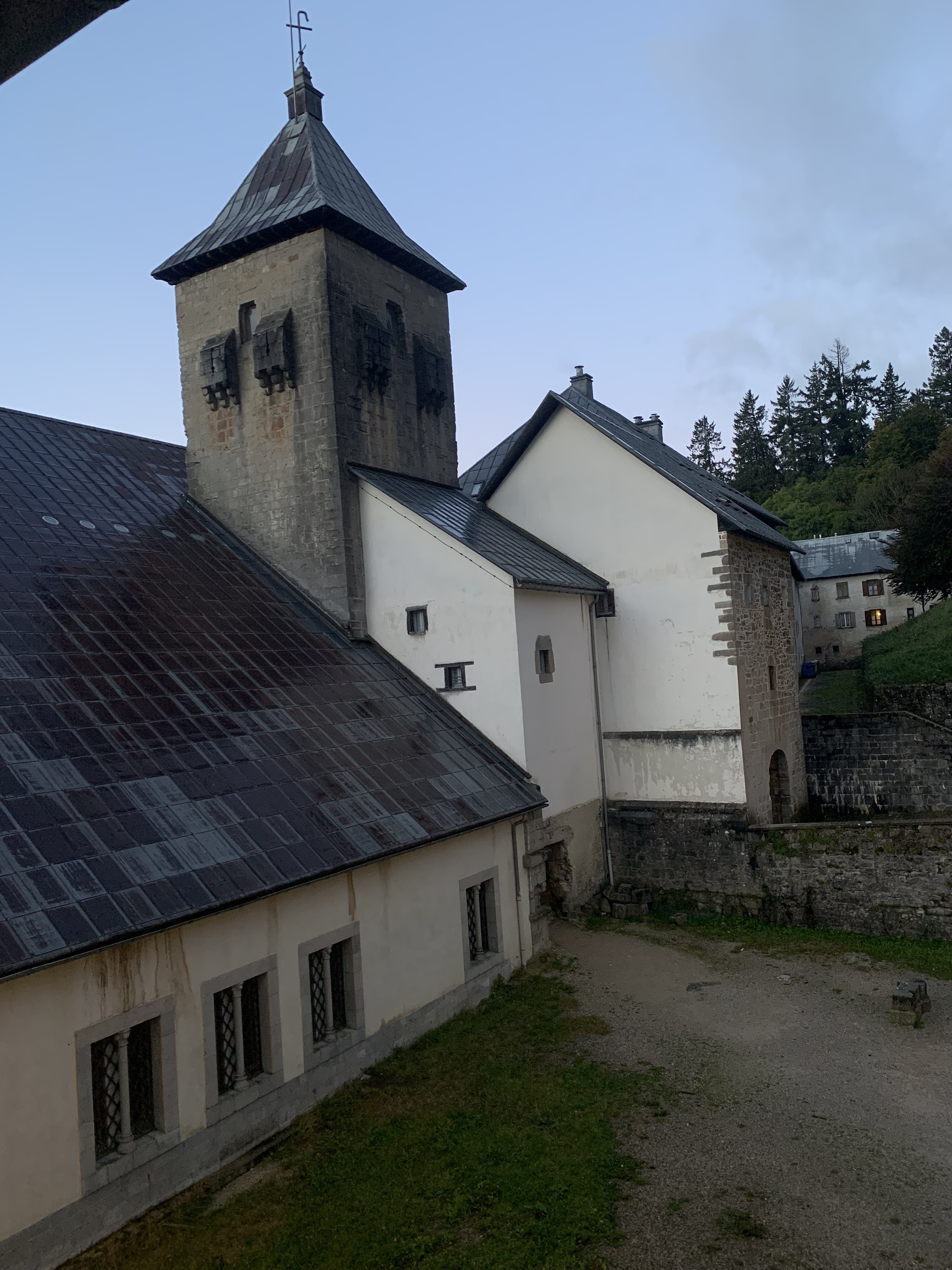
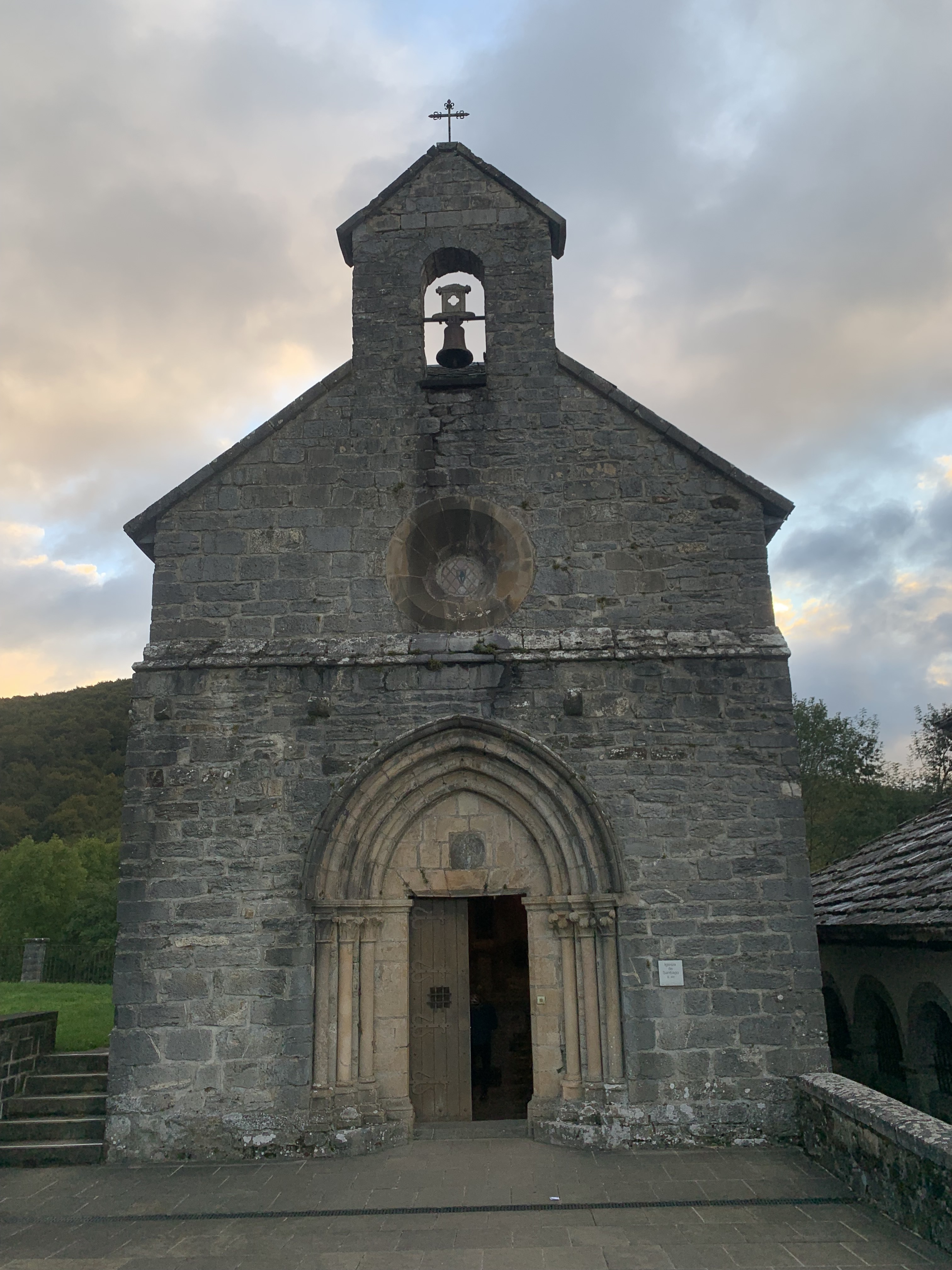
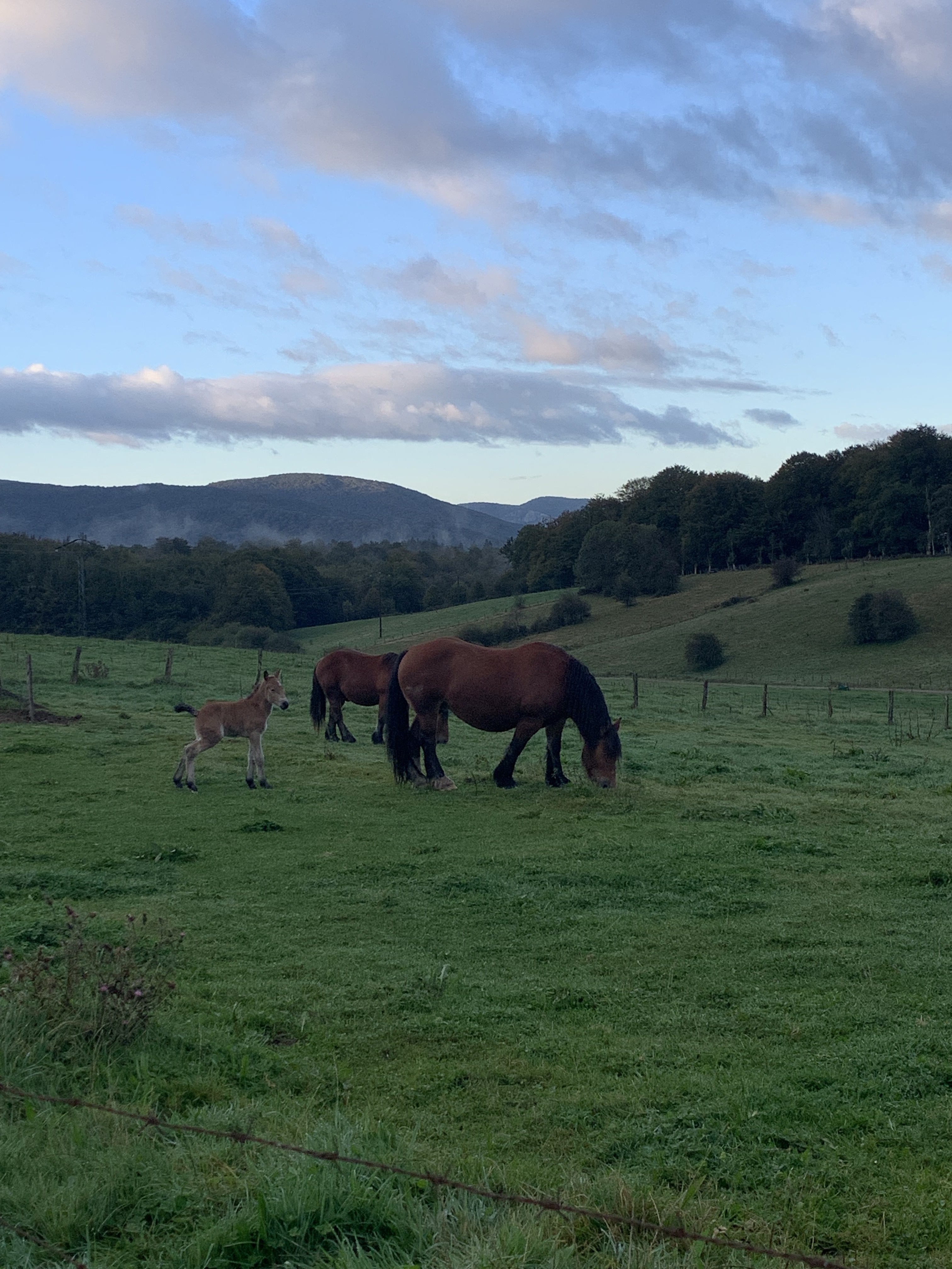
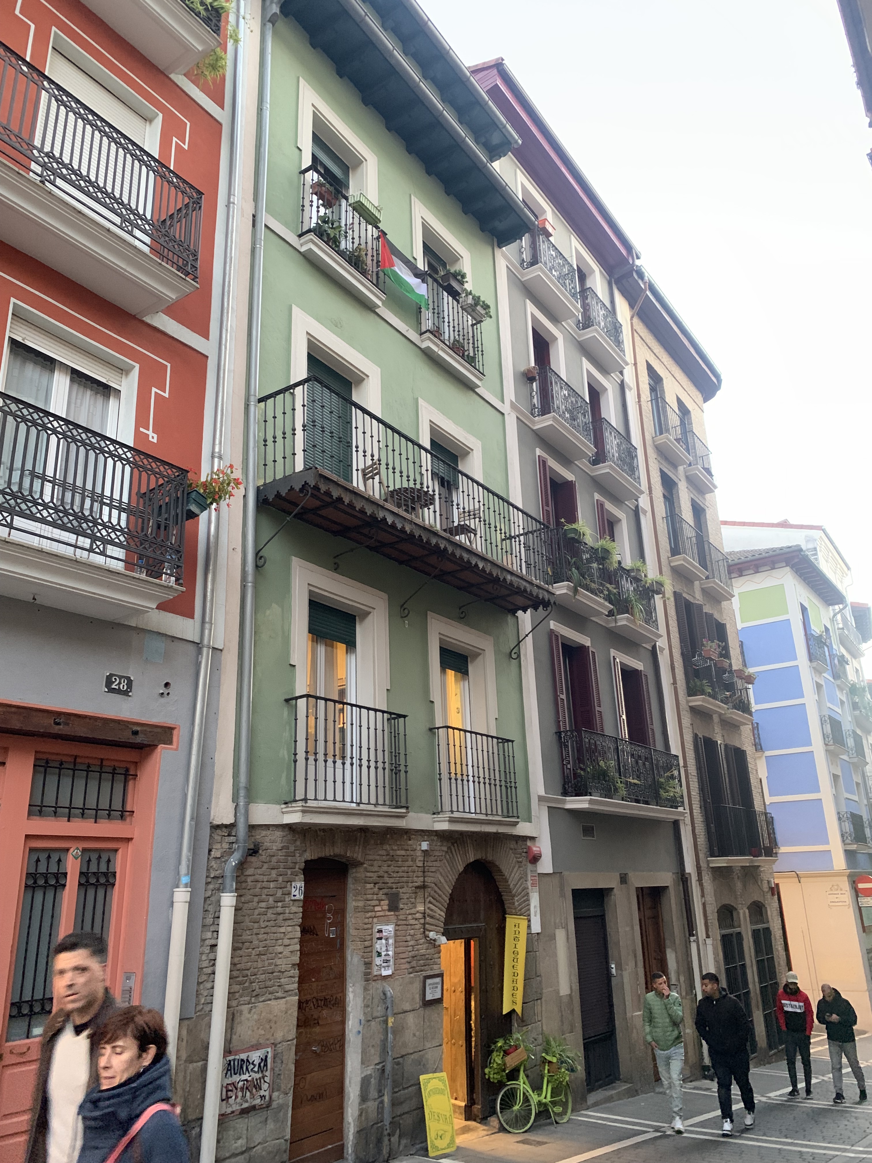
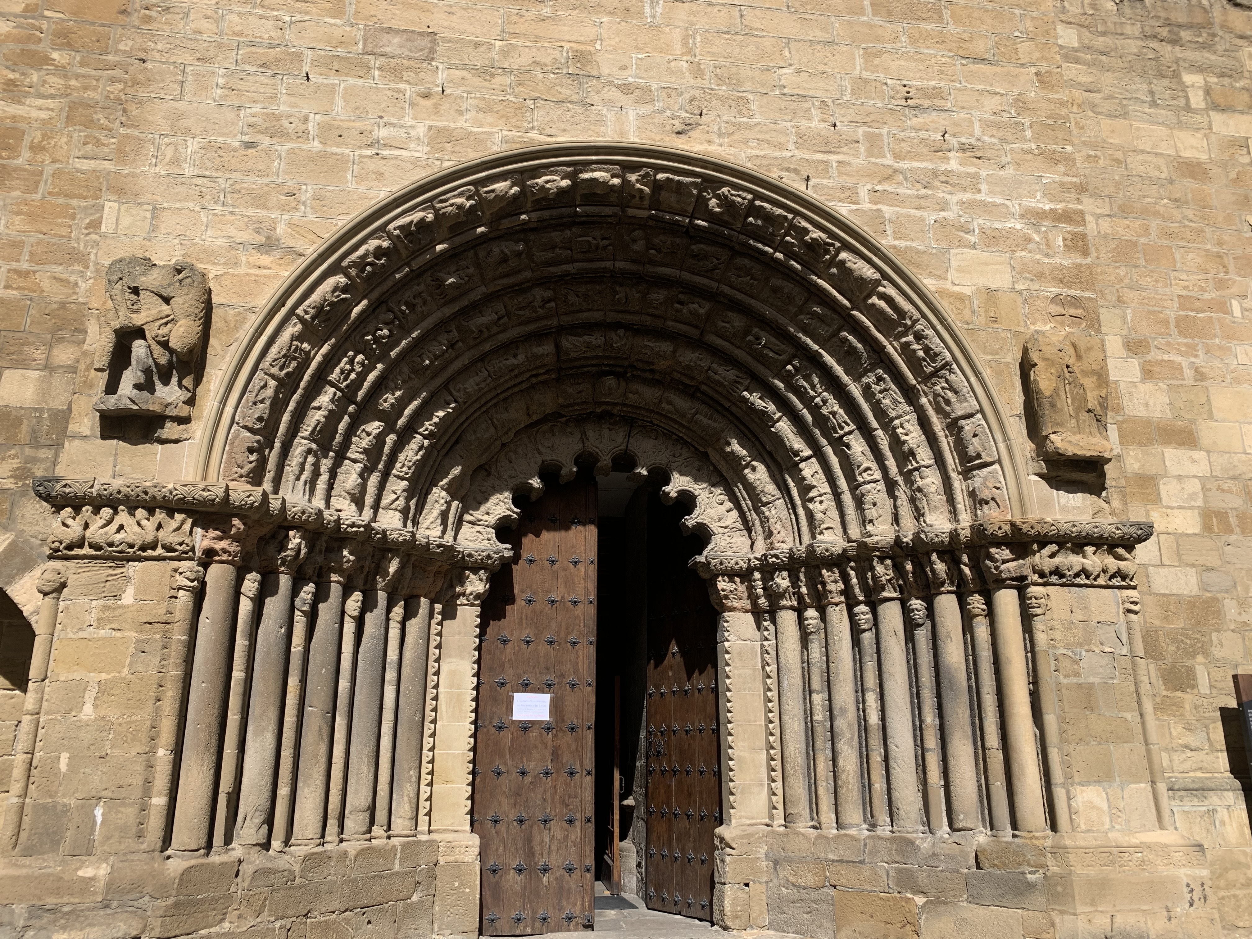
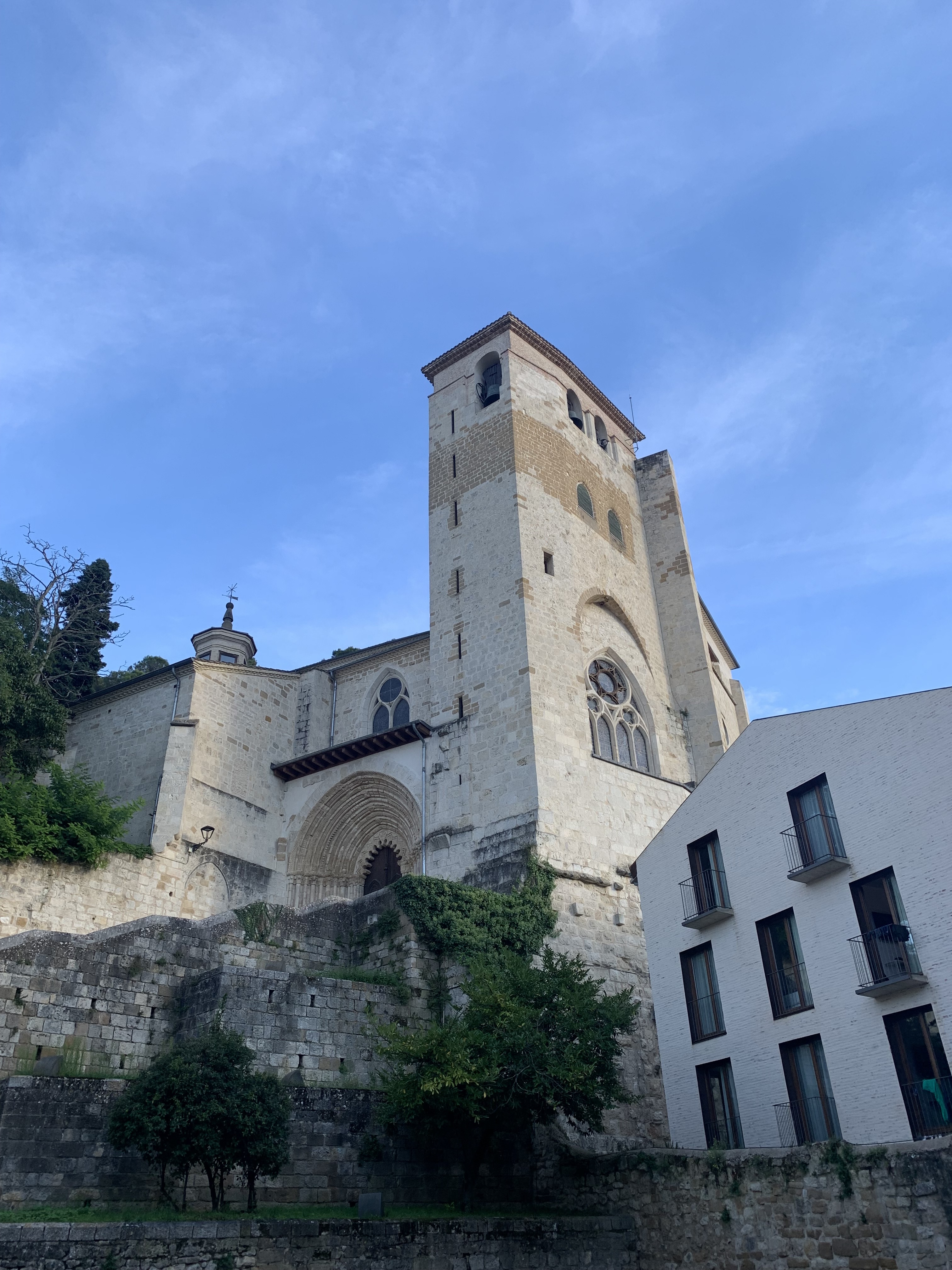
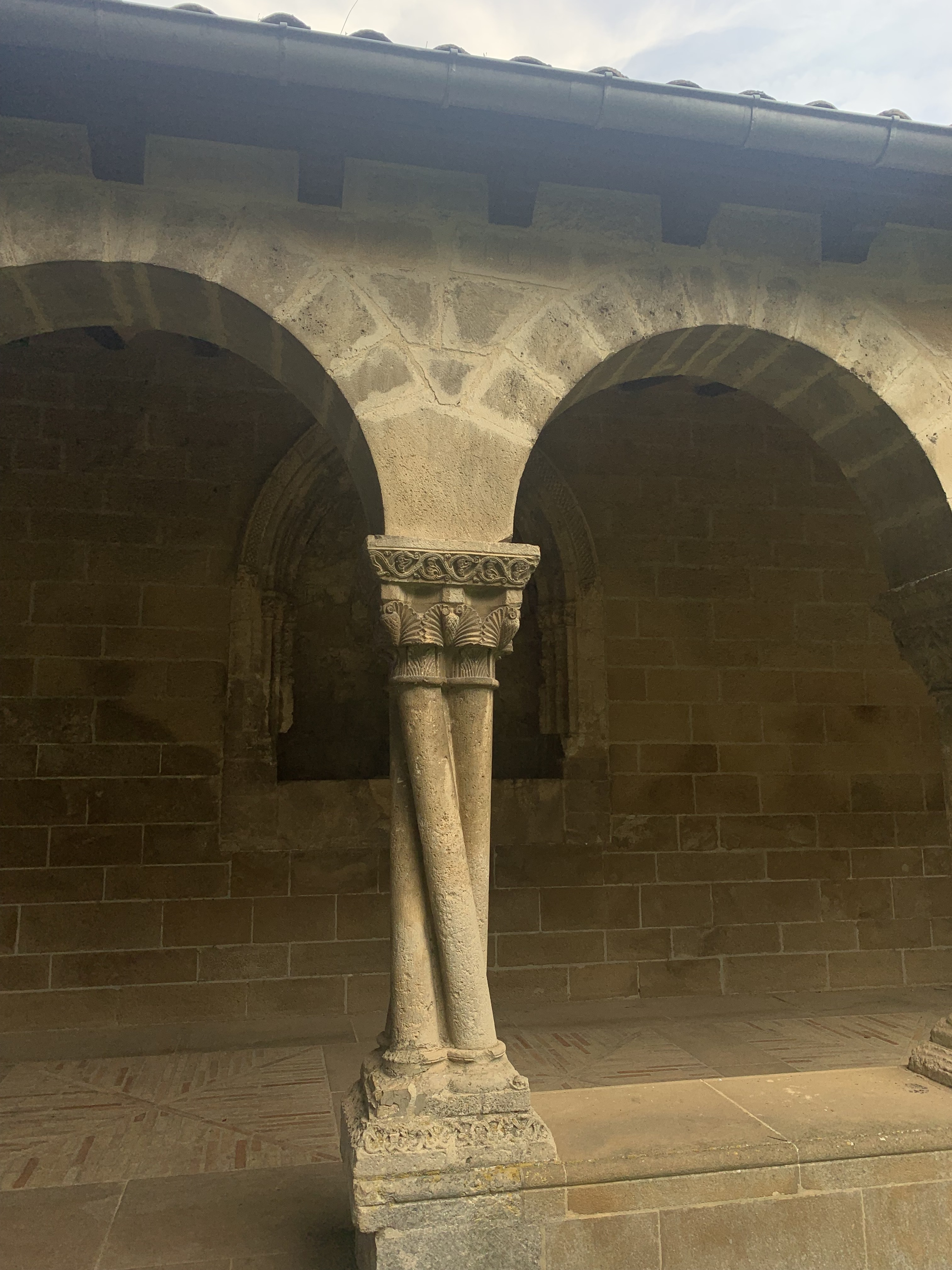
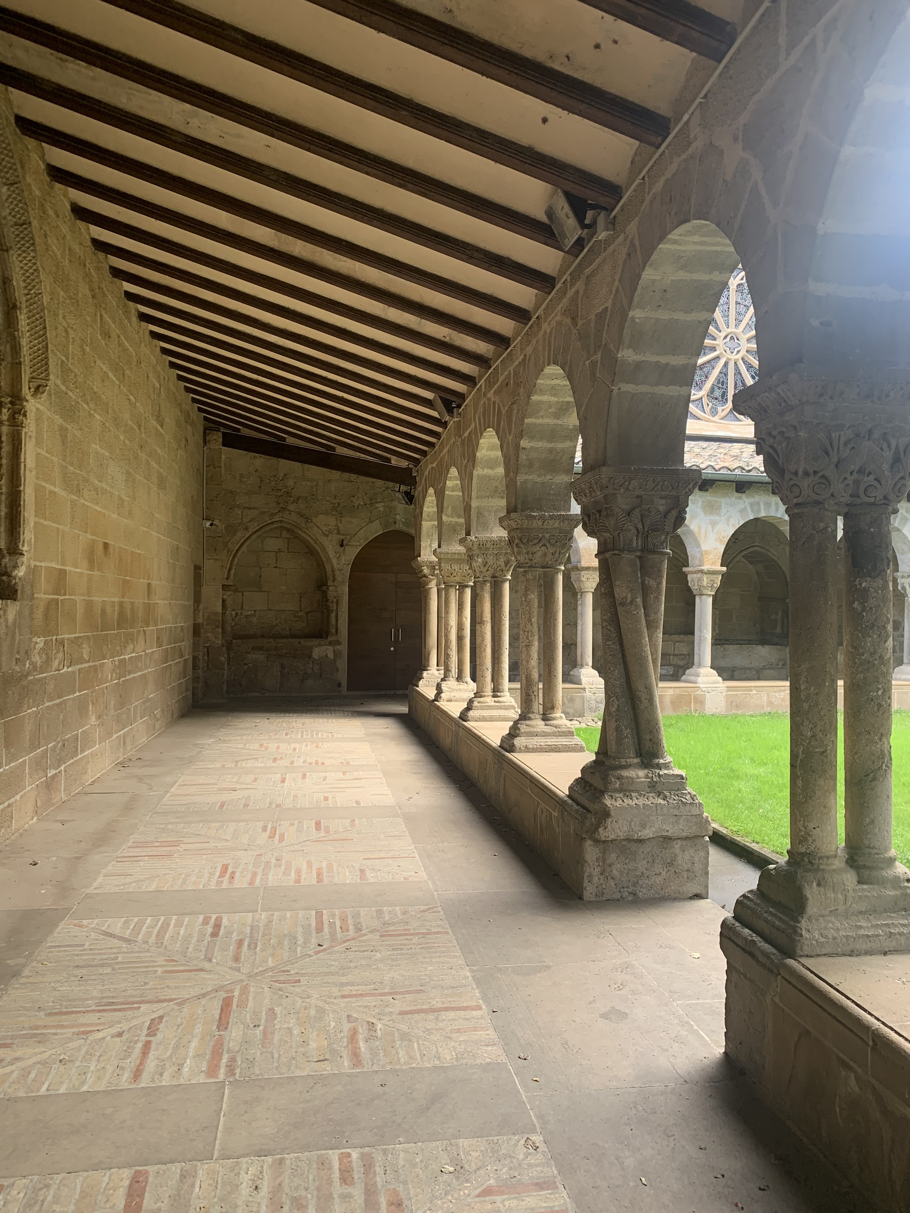
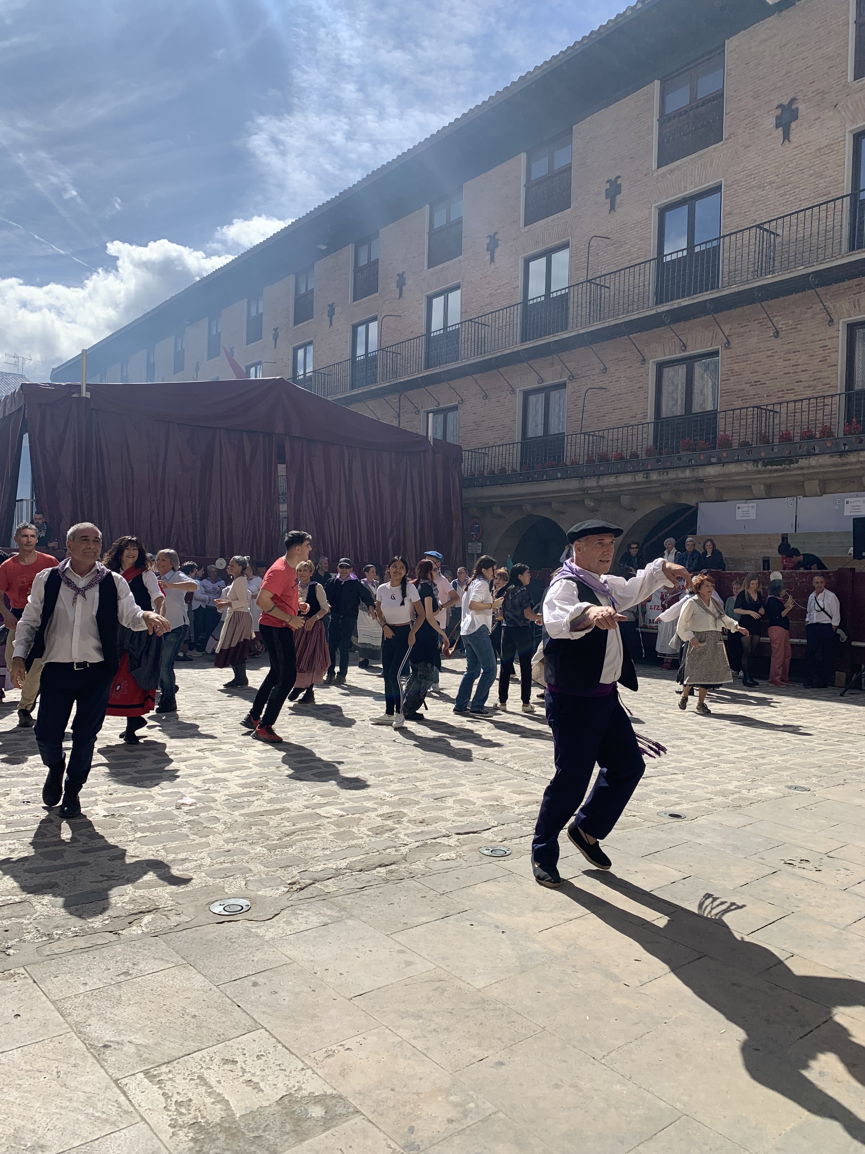
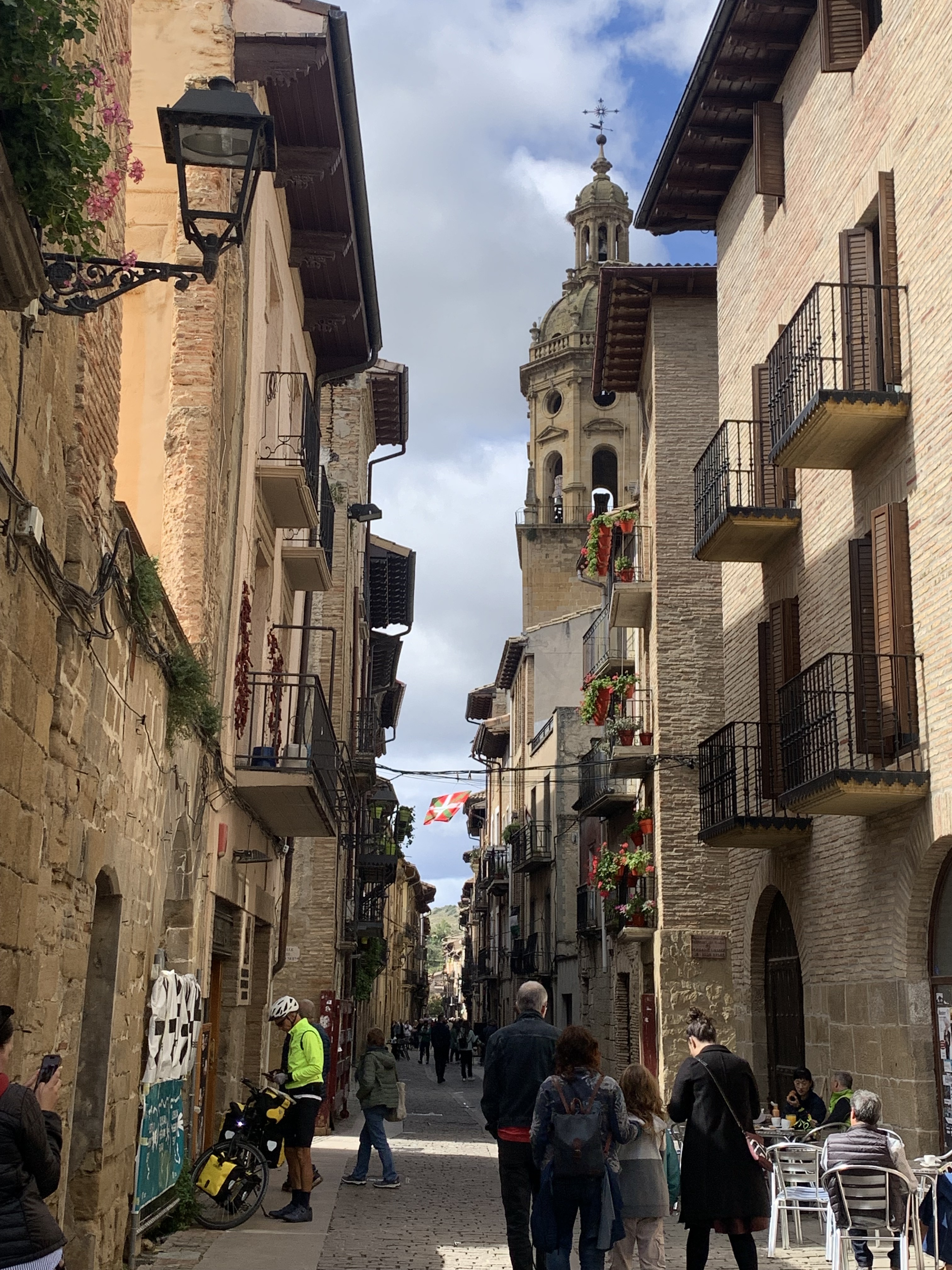
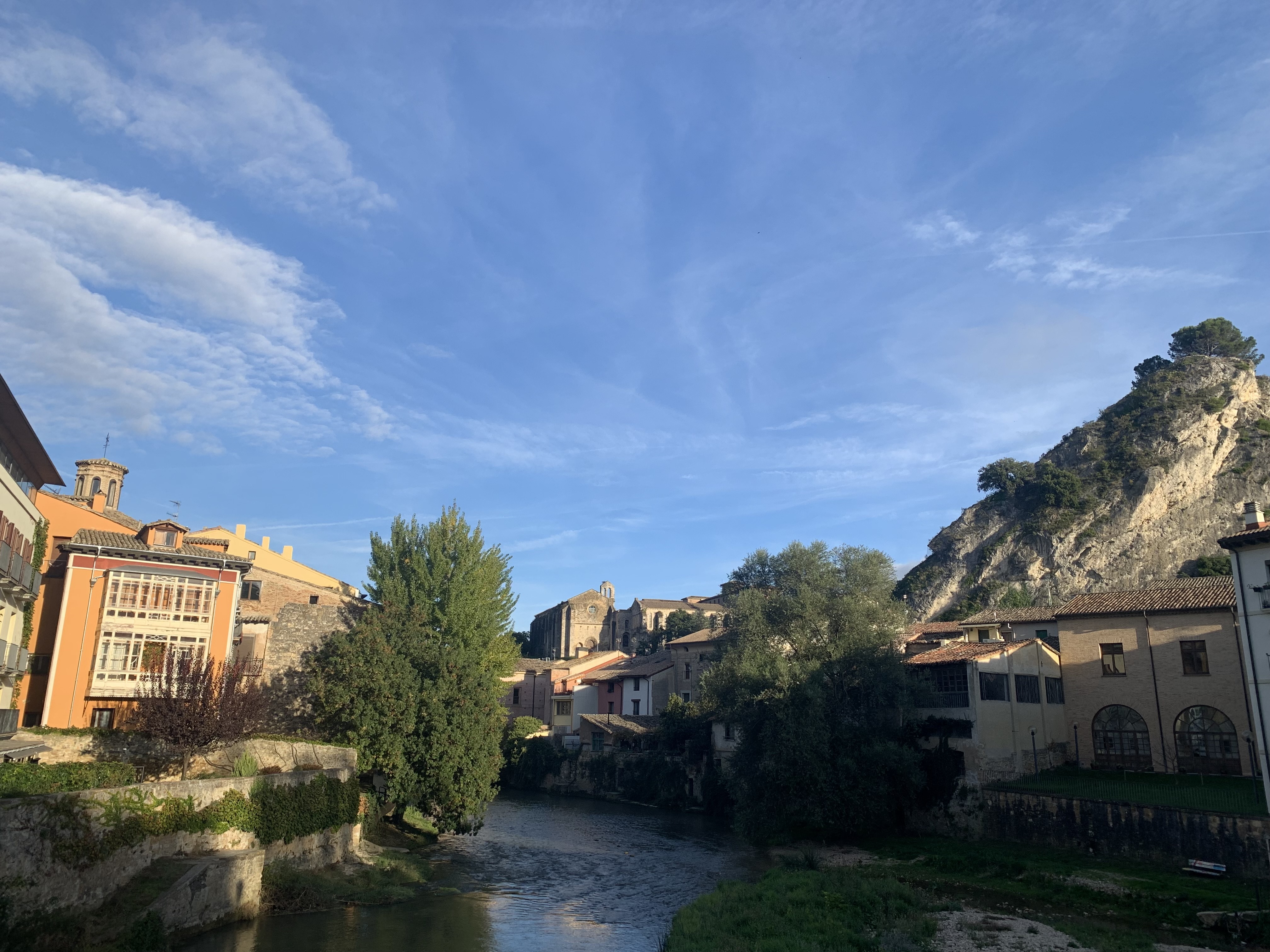
Some photos of the last few days.
Leaving Roncesvalles j
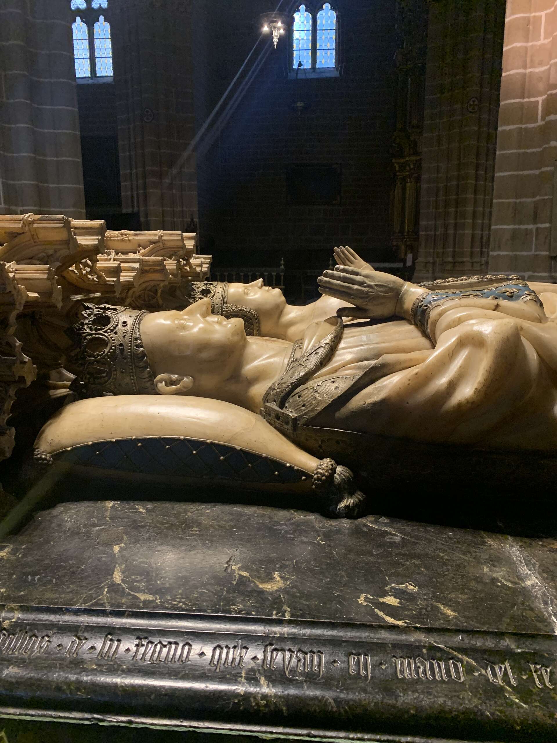
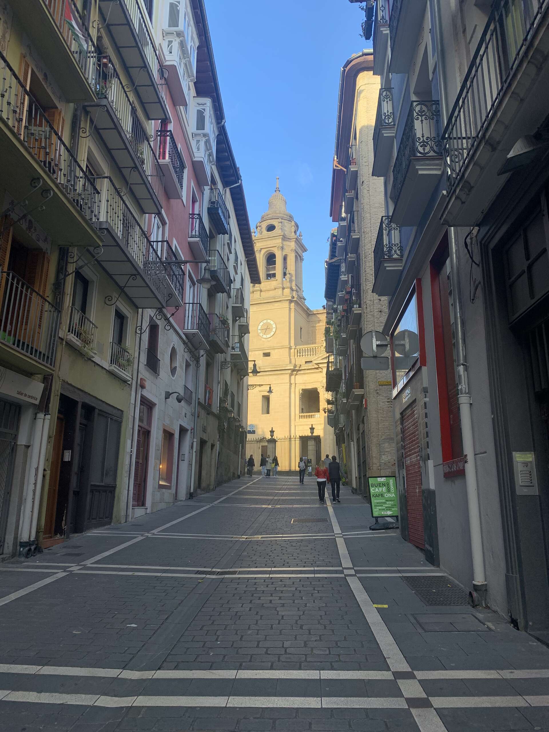
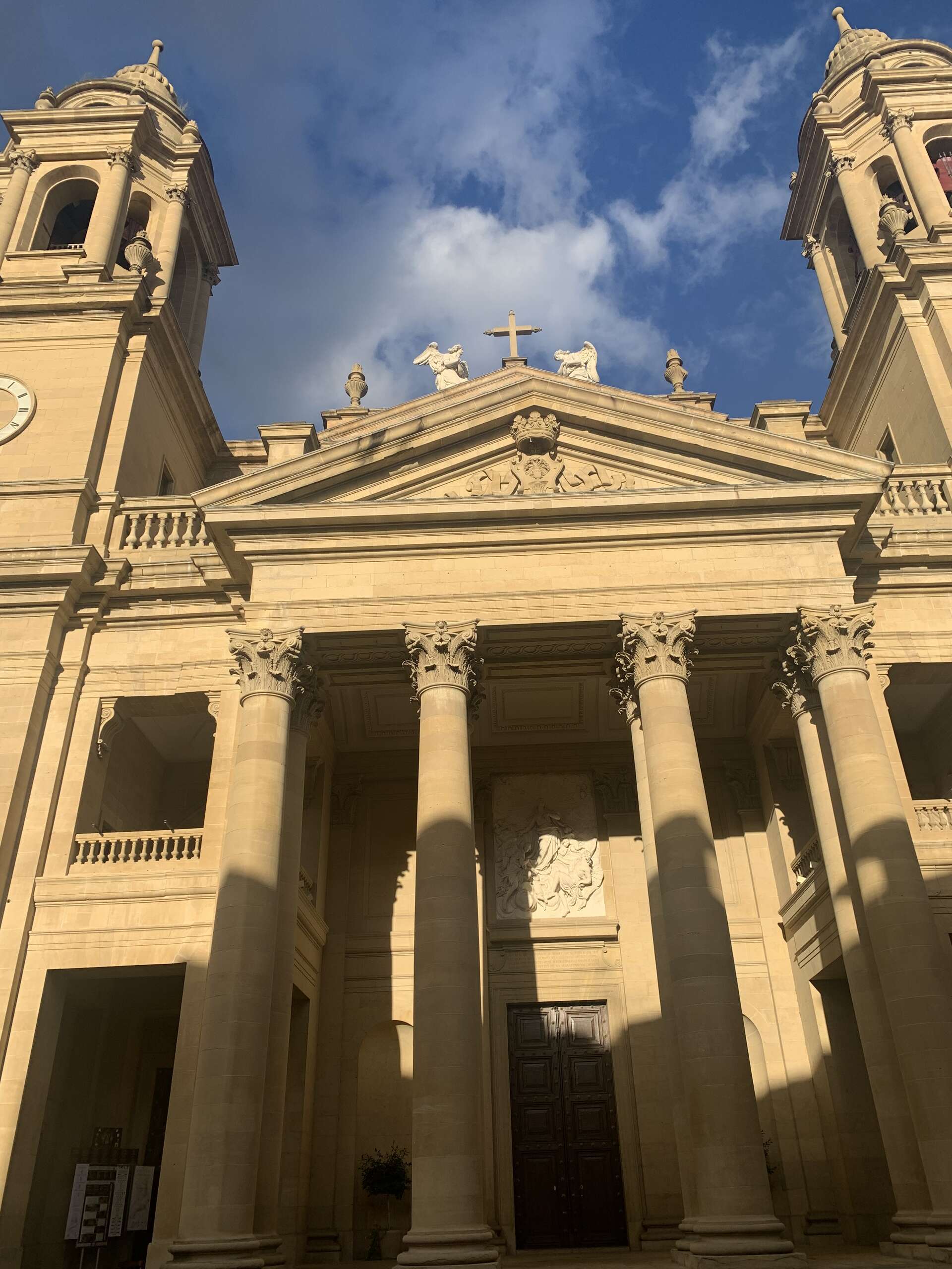
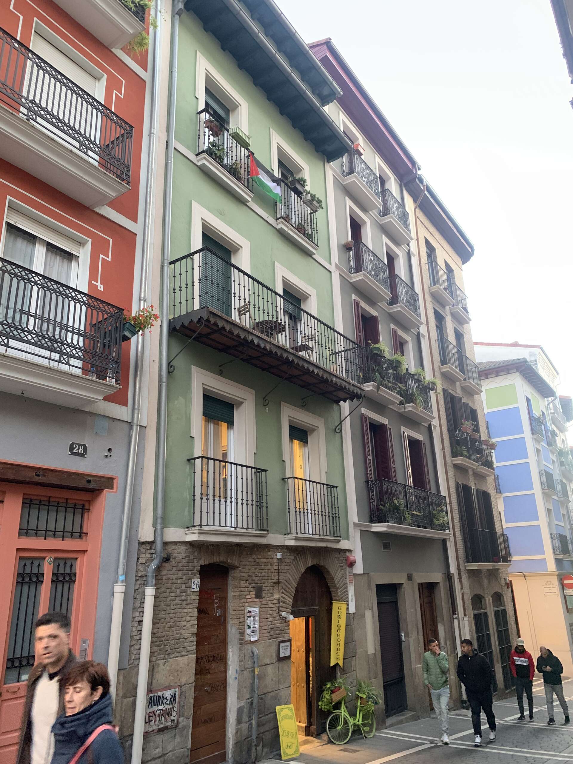
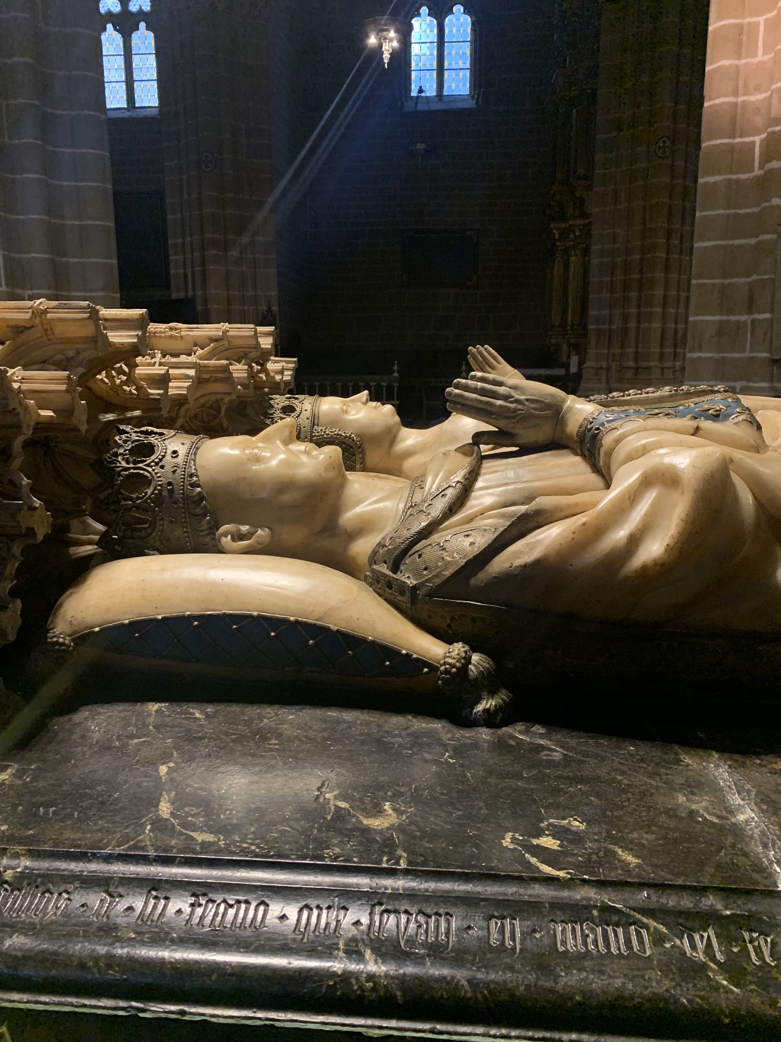
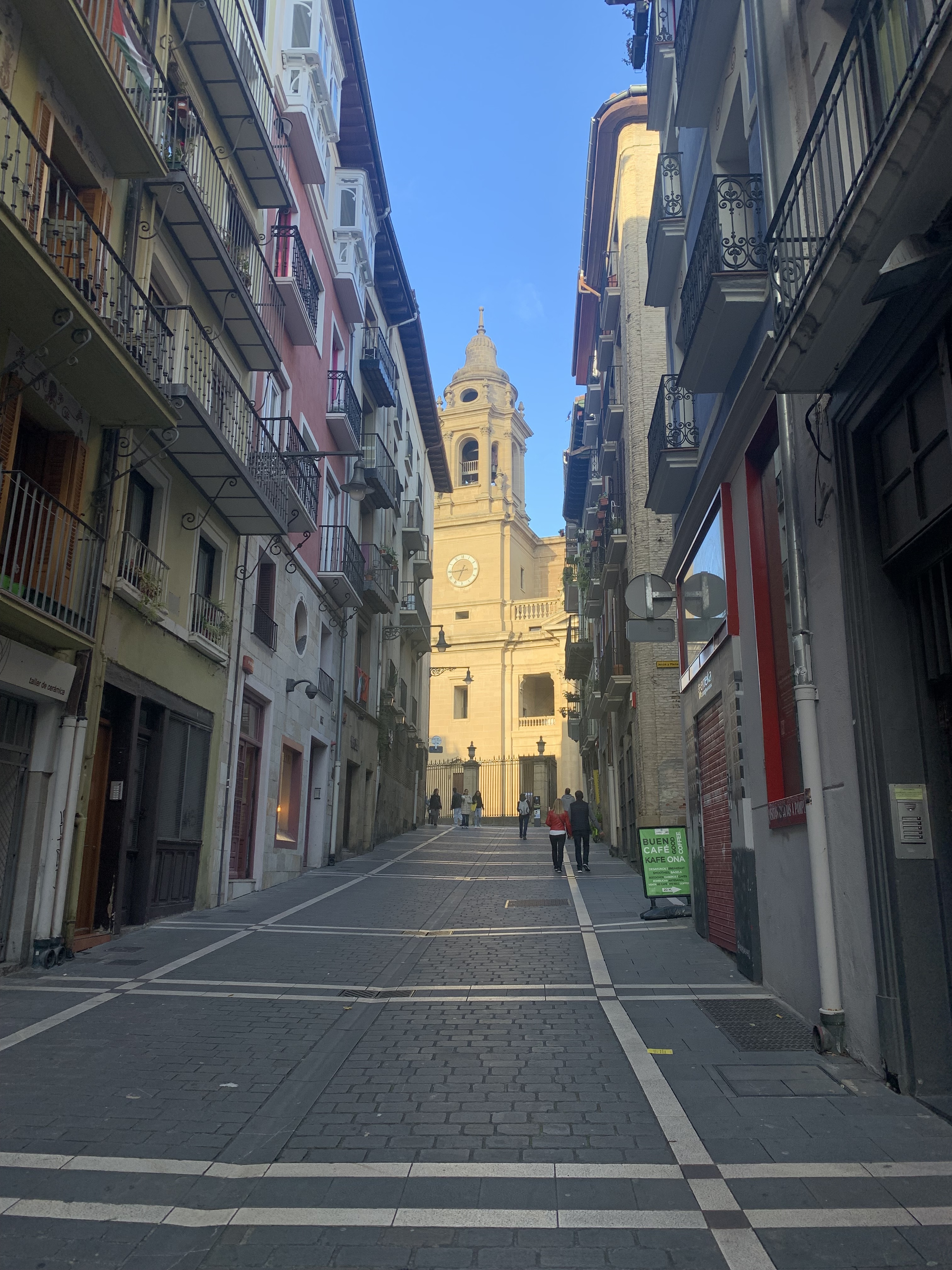
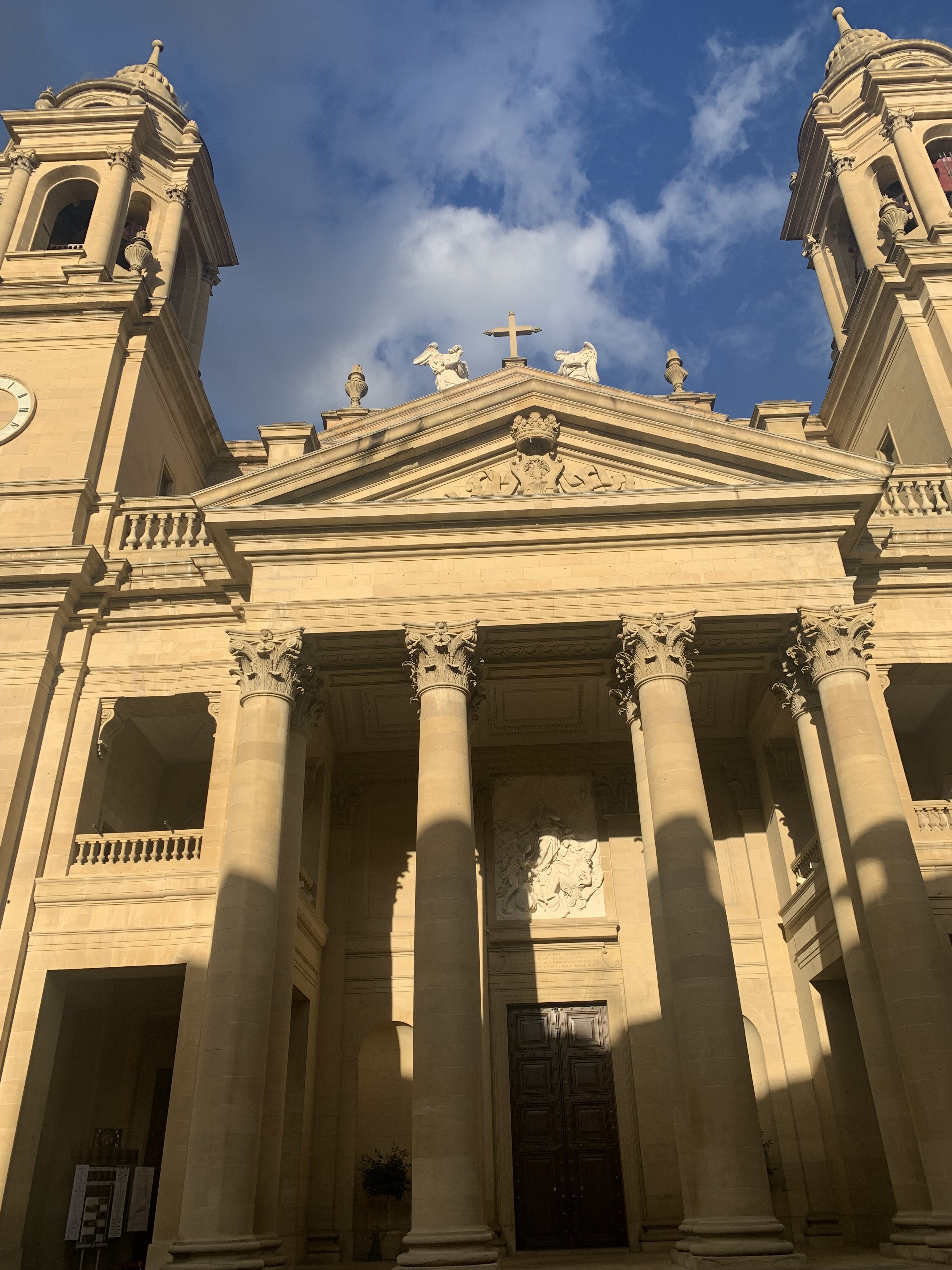
Pamploma , a very lively city, except for those resting in the cathedral.
Puente la Reina and Estella
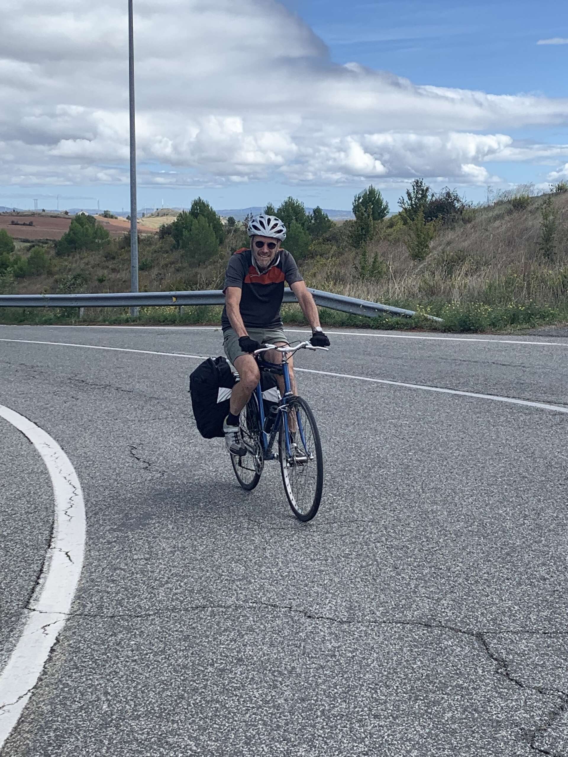
And the best navigator ever and one of crazy trails we got on to .